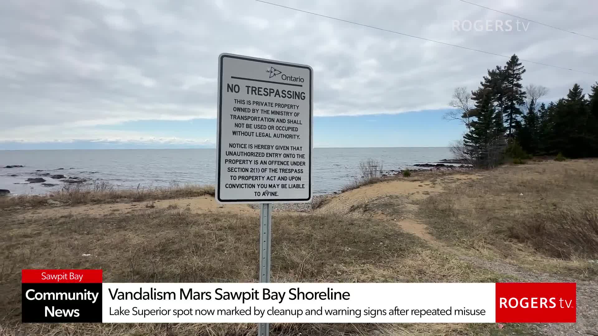
Rogers tv Community News
Major April 2nd–4th Storm: 30–50 mm of Rain Incoming for the Algoma Region
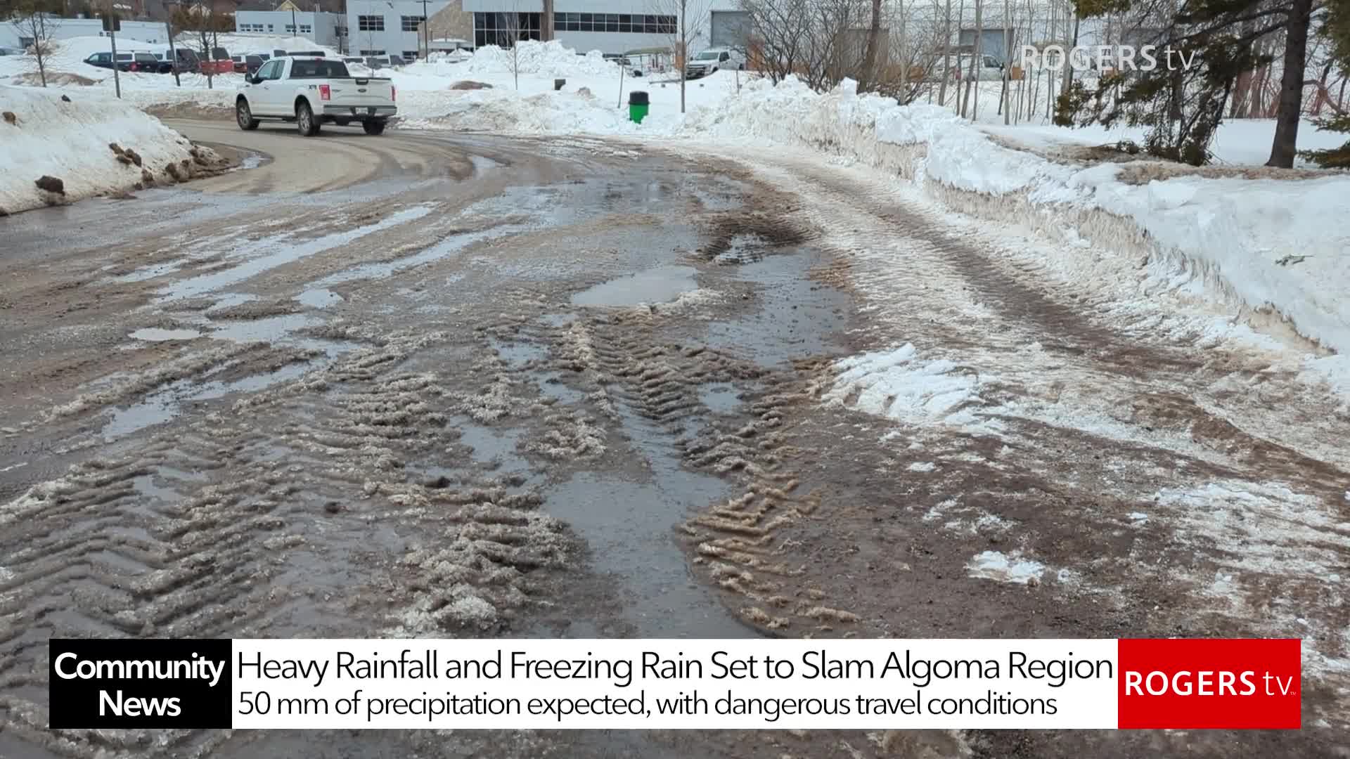
A significant spring storm is set to impact Sault Ste. Marie and the Algoma region from Thursday April 2nd evening into Saturday April 4th morning, bringing a mix of freezing rain, heavy downpours, and strong winds.
Environment Canada has issued Yellow Level Rainfall and Freezing Rain Warnings, with 30 to 50 millimetres of precipitation expected as the system moves through.
The storm will begin as snow and sleet before transitioning to freezing rain Thursday afternoon, creating icy roads, slippery sidewalks, and the potential for scattered power outages as winds gust between 50 and 55 kilometres per hour.
As temperatures rise later in the evening, the freezing rain will shift to heavy rainfall, leading to pooling water, reduced visibility, and the risk of localized flooding in low-lying areas and near rivers, creeks, and culverts.
The Sault Ste. Marie Region Conservation Authority notes that lingering snowpack in northern parts of the watershed may increase runoff and contribute to rising water levels.
Residents are encouraged to stay alert, monitor official weather updates, and take precautions as this multi-day storm system moves across the region